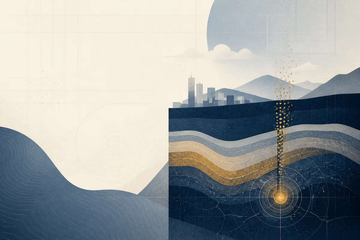
The Geological Mechanics of Radon in the Denver Basin
Homeowners in the metro area often treat radon as a random occurrence, but its presence is a predictable result of the region's unique subterranean architecture. While many states deal with radon from simple soil decay, Colorado’s risk is amplified by the high-permeability pathways found in the Dawson Formation and surrounding sedimentary layers. This geological "plumbing" means two identical houses on the same street can have vastly different indoor air quality based solely on the rock fractures beneath their slabs.
Understanding the mechanics of local radon geology is essential for anyone buying, selling, or maintaining a property along the Front Range. This guide breaks down how the specific composition of Colorado soil profiles influences gas migration and why simple DIY fixes rarely address the root geological cause.
Why Front Range Geology Drives High Radon Levels
The risk in Colorado is not just about the presence of uranium in the soil; it is about how easily the resulting gas moves through the ground. Exposure to radon is associated with approximately 10% of U.S. lung cancer cases according to the NIH. In Colorado, as of 2025, about 500 people a year die from lung cancer as the result of radon gas exposure according to CU Anschutz.
- The uplift of the Rocky Mountains pushed uranium-rich granitic rock toward the surface, providing a constant source of decay.
- The Dawson Formation sandstone acts as a high-permeability conduit, allowing gas to travel great distances compared to dense, wet clay.
- Semi-arid climates lead to soil shrinkage and cracking, which creates direct atmospheric chimneys for soil gas.
- Foundation pressure differentials (the stack effect) actively pull gas from these deep geological reservoirs into the living space.
The Playbook for Assessing Geological Radon Risk
Addressing radon in the Denver Basin requires moving beyond surface-level assumptions and looking at the stratigraphic layers beneath the property.
1Identify the Bedding Planes
In Douglas and Jefferson counties, the rock layers are often tilted or fractured rather than perfectly horizontal. These bedding planes act as natural ramps that steer gas toward the path of least resistance—which is often the disturbed soil around a new foundation. A professional assessment considers the slope and orientation of the underlying rock to determine the likely entry points.
2Differentiate Sandstone from Claystone
The Dawson Formation is a mix of sandstone and claystone; the former is highly permeable, while the latter is not. If a home sits on a sandstone lens, radon gas migration occurs rapidly and across a wide area. Radon Testing using 48-hour continuous monitors is the only way to verify if these geological features are actively venting into the structure.
3Evaluate Soil Porosity
Colorado soil profiles vary wildly from the sandy loams of Aurora to the expansive clays of Lakewood Service Area. High-porosity soils require different vacuum pressures for mitigation than dense clays. An effective system must be calibrated to the specific resistance of the local substrate to ensure the vacuum extends to the entire footprint of the slab.
4Account for Seasonal Gas Migration
Geological pathways change with the weather. During cold winters, the "cap" of frozen topsoil forces gas to move horizontally until it finds an unfrozen escape route—the warm ground underneath a heated basement. This seasonal shift can cause radon levels to spike significantly, even in homes that tested low during the summer months.
How the Dawson Formation Facilitates Gas Movement
The Dawson Formation is a prominent geological feature in the Denver Basin, consisting of synorogenic sedimentary rocks deposited during the uplift of the Front Range. Because this formation contains significant amounts of arkosic sandstone—derived from eroded granite—it is naturally rich in the minerals that produce radon. Research indicates that certain rock formations significantly increase the probability of high indoor radon concentrations.
In areas where this formation is close to the surface, the rock is often highly fractured. These fractures serve as "superhighways" for radon gas. Unlike uniform soil where gas diffuses slowly, fractured rock allows radon to bypass traditional filtration, reaching foundations before the gas has a chance to decay naturally in the earth.
How Denver Radon Services helps
Managing geological radon risk involves a systematic approach to sub-slab depressurization and soil gas management. A typical project starts with a diagnostic pressure field extension test to see how air moves beneath the specific soil profile of the home. For properties in the area, this may involve sealing sump pits, addressing crawl spaces with sealed membranes, or installing high-output fans capable of overcoming the resistance of heavy clay. Property owners should expect a detailed scope of work that includes post-mitigation retesting to verify that the geological pathways have been successfully intercepted. For assistance with a specific property, contact +17206779523 or visit the Denver Radon Services request page.
Frequently asked questions
Does a new-build home in Denver have a lower radon risk?
Newer homes often have "passive" radon systems, but they are still built over the same Dawson Formation geology as older homes. While modern liners and venting help, the City and County of Denver notes that even new construction can exhibit high levels due to soil disturbance during the building process, which creates new pathways for gas.
Why are radon levels higher in Douglas and Jefferson counties?
These areas sit on the western edge of the Denver Basin, where the geological layers are more compressed and frequently outcropped. The proximity to the granitic source rocks of the mountains and the presence of heavily fractured sandstone layers facilitate more direct gas migration than the deeper sedimentary layers found further east.
Can I trust a one-time radon test if my neighbor's house is low?
No, because geological pathways are highly localized. A study via PMC explains that geological variables like faulting and soil permeability can cause radon levels to vary significantly between adjacent plots. Your neighbor may be over a dense clay pocket while your home sits on a fractured sandstone lens.
How does Colorado's climate affect radon geology?
The arid climate leads to "soil gas pressure" changes. When the ground is dry and cracked, gas moves easily; when it is saturated or frozen, the gas is trapped and seeks the easiest exit, which is typically the depressurized environment of a home's basement. This makes year-round monitoring important in the local climate.
What is the Dawson Formation sandstone exactly?
It is a geological layer composed of sand and pebbles washed down from the mountains millions of years ago. Because it is porous, it acts like a sponge for gas. In the area, this formation is a primary reason why radon can travel from deep underground up into a home's foundation.
What happens when you get in touch: you describe the situation, we ask the few questions that actually change the answer, and you get a clear scope and next step — no obligation.